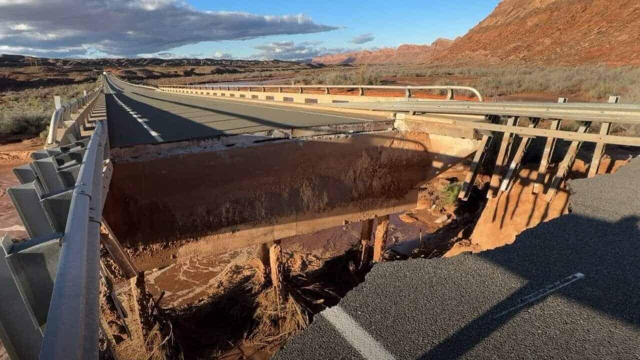
The governor of Utah has declared a state of emergency in San Juan and Washington counties, which have been hit by repeated flooding over the past few weeks, especially between October 22 and November 1. For tourists traveling in the area during this period, the most immediate consequence is one: US-163, the road connecting Bluff to Mexican Hat and to Monument Valley, is closed due to the collapse of the bridge over Comb Wash.
These are areas that many Italians pass through on the classic tour of the Western parks: from Moab toward Monument Valley on one side, Zion and St. George on the other. Here’s what happened, what remains open, and how to reorganize your itinerary considering the closures that will most likely continue through next summer as well.
What the state of emergency means
Executive Order 2026-09, signed by Governor Spencer J. Cox on November 6, 2026, is valid for 30 days unless extended by the Utah Legislature, so it runs approximately through early December 2026. It is not a travel ban: it’s an administrative tool that allows the state to mobilize resources, support local communities, and request assistance from the federal government and other states.
The reported damage is extensive and includes:
- roads, bridges, homes and businesses damaged by storms and flash floods;
- broken water lines, affecting access to drinking water in some areas;
- damaged phone lines and fiber-optic infrastructure.
The full extent of the damage won’t be clear until the water has fully receded, but the situation is serious, especially in areas that flooded more than once. In Bluff, for example, the San Juan River flooded on October 25 and again just over a week later.
Closed roads and bridges
The biggest blow to tourism is the Comb Wash bridge on US-163, about 7 miles (11 km) west of Bluff. Erosion opened a gap between the roadway and the bridge, and the road was closed immediately. According to Bluff’s mayor, rebuilding the bridge will take several months. The closure is especially significant for visitors because it cuts the most direct route between southeastern Utah and Monument Valley, on the Arizona border.
Another stretch to keep in mind is SR-162 between Bluff and Montezuma Creek, one of the roads heading toward Four Corners Monument, where flooding has caused localized closures. Other closures also matter for anyone traveling in the area: on SR-262, a bridge north of Montezuma Creek was damaged, while US-191 near Bluff was briefly closed during the flooding and has since reopened.
Here are the main closures:
| Road | Section | Status | Who it affects |
|---|---|---|---|
| US-163 | Comb Wash bridge, between Bluff and Mexican Hat | Closed, bridge destroyed | Travelers heading from Moab or Bluff to Valley of the Gods, Mexican Hat and Monument Valley |
| SR-262 | Bridge north of Montezuma Creek | Damaged, community cut off | Travelers heading to Hovenweep or Four Corners from the Utah side |
| SR-162 | Between Bluff and Montezuma Creek | Flooding and localized closures | Travel toward Aneth and Four Corners |
| US-191 | Near Bluff | Briefly closed during the flooding, now reopened | Main north–south route, currently open |
What changes for tourist itineraries
The most affected stretch is the connection between Moab and Monument Valley, one of the most traveled routes on Southwest road trips. Travelers arriving at Monument Valley from the south, already in Arizona, can reach the park without any problems. The challenge is for those coming from the north, or heading from Monument Valley into Utah. Here are the main detours for travelers on an itinerary in this area.
From Moab to Monument Valley: required detours
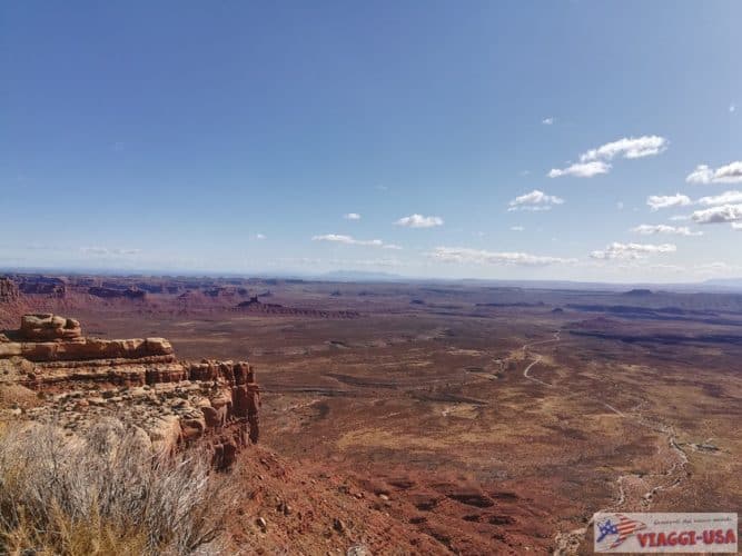
To get from Moab to Monument Valley, the most direct route goes through Bluff, but with US-163 closed at Comb Wash there are now two alternatives:
- Detour via Kayenta. From Moab, continue past Bluff and head south on US-191 across the Navajo Nation into Arizona. At Mexican Water, turn west on US-160 to Kayenta, then head north on US-163 to Monument Valley.
- Compared with the usual route, it adds about 50 miles (85 km), or roughly an hour of driving;
- It’s the detour recommended by the Utah Department of Transportation (UDOT): longer, but fully paved and straightforward.
- Detour via Moki Dugway. From Moab you don’t need to go as far as Bluff: just south of Blanding, head west on SR-95, then south on SR-261 until it descends to US-163 just north of Mexican Hat. This route includes the Moki Dugway, about 3 miles of unpaved switchbacks at an 11% grade.
- Compared with the usual route, it adds about 20 miles (30 km), or roughly 45 minutes to an hour of driving;
- The Moki Dugway is not recommended for RVs, vehicles towing trailers, or drivers who aren’t used to unpaved roads. Before choosing it, check that it’s open, and avoid it after heavy rain.
- It’s the more scenic of the two options, but it isn’t for everyone.
Valley of the Gods and Goosenecks: how can you get there now?
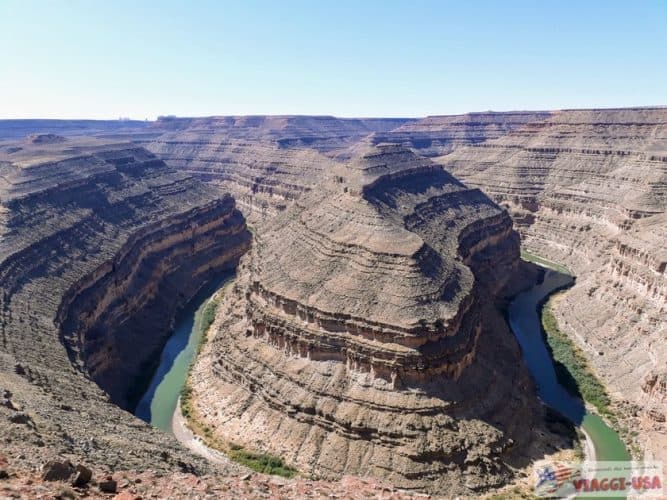
Both Valley of the Gods and Goosenecks State Park are natural attractions often visited when traveling between Monument Valley and Utah’s parks, since they lie just north of the Arizona border. The closure of US-163 complicates things for anyone who wants to include them, because they sit west of the collapsed bridge and can no longer be reached directly from Bluff.
That leaves two ways to include them in your itinerary:
- Taking the Moki Dugway: as explained above, it’s not a road for everyone, so weigh this option carefully.
- A round trip from Monument Valley: head north to Mexican Hat and the two parks, then return south.
- Along the way, you can also stop at the famous Forrest Gump Point viewpoint.
Keep in mind that the road through Valley of the Gods is unpaved: after several days of rain it can be muddy or impassable.
Sources: