Highway 1 is once again closed along California’s scenic Big Sur coast. Heavy rainfall on November 18 and 19, 2026, triggered mudslides and sent rocks and fallen trees onto the roadway, prompting the California Department of Transportation (Caltrans) to close a section of the famous Pacific Coast Highway.
As of November 20, the closure covers approximately 20 miles (32 km) between Fernwood and Regent’s Vista, just south of Big Creek Bridge. This means travelers can no longer drive the entire Highway 1 coastal route between Monterey and Morro Bay, one of California’s most popular scenic drives.
The good news is that several of Big Sur’s most famous attractions, including Bixby Creek Bridge, are still accessible. Here’s what you can still visit and how to get around the closure.
When Will Highway 1 Reopen?
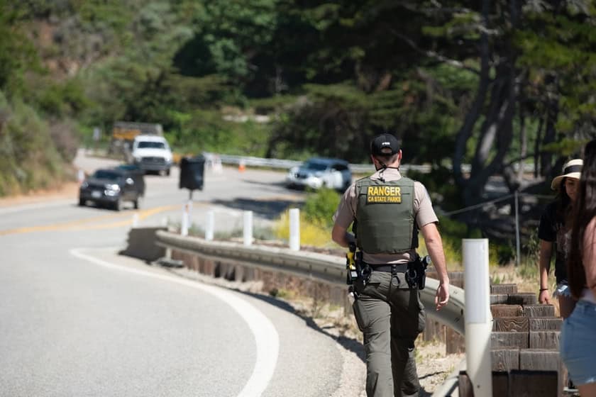
The closure began on Wednesday, November 18, when Caltrans initially shut down approximately 46 miles (74 km) of highway as a precaution against landslides and debris flows caused by heavy rain. The risk is particularly high in areas affected by the summer 2026 wildfires, where burned hillsides are more vulnerable to erosion and flooding.
The following day, after initial cleanup efforts, the closure was reduced to approximately 20 miles (32 km). Crews are clearing mud, rocks, and fallen trees while continuing to assess the safety of the roadway.
No reopening date has been announced. The closure won’t necessarily last for months, as previous closures have, but Caltrans has not provided enough information to estimate when traffic might resume. Anyone planning a trip in the next few days should plan on Highway 1 remaining closed and arrange an alternate route.
What Can You Still See Along Highway 1?
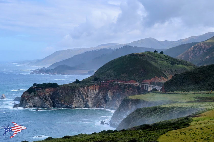
The Big Sur coast isn’t completely off-limits. Visitors can still explore sections of Highway 1 from either end of the closure, although recent storms may cause additional temporary restrictions.
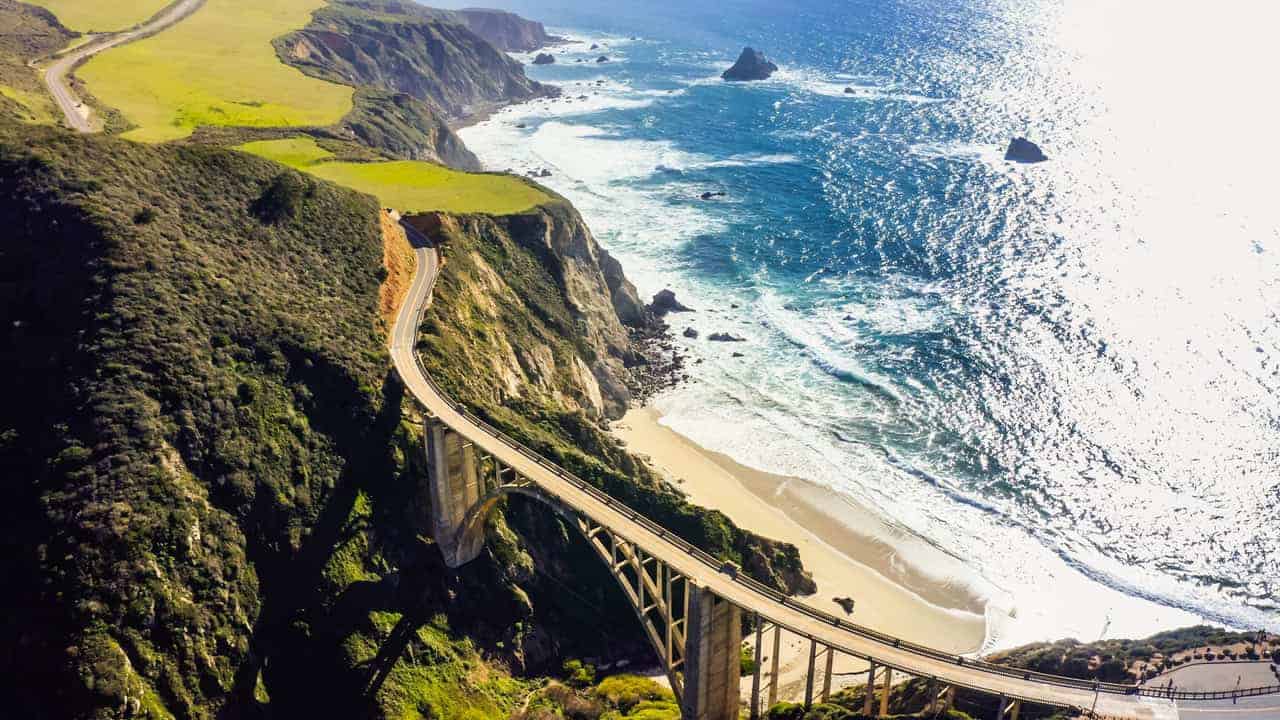
Travelers coming from Monterey or Carmel-by-the-Sea can still enjoy a spectacular stretch of Highway 1 and reach some of the coast’s best-known attractions. Most importantly, Bixby Creek Bridge, one of the most photographed bridges in the United States, remains accessible and open to traffic. However, since August 2026, parking has been prohibited in the immediate vicinity of the bridge under a temporary 12-month restriction. For a view of the bridge from above, visitors can continue to the Hurricane Point overlook and stop where parking is permitted.
Farther south, visitors can also reach the area around Point Sur Lighthouse and Andrew Molera State Park. The latter is located north of the road closure, although it’s important to check for any park or trail restrictions caused by the recent storms. However, Pfeiffer Big Sur State Park, Pfeiffer Beach, and McWay Falls cannot be reached from Monterey because they lie beyond the Fernwood closure. Julia Pfeiffer Burns State Park, home to McWay Falls, is also currently closed.
Travelers approaching from the south can still follow the coastal highway from Morro Bay through Cambria and San Simeon to Ragged Point, visiting attractions such as Hearst Castle and Elephant Seal Vista Point, where visitors can watch elephant seals along the shoreline.
To travel between Monterey and Morro Bay in either direction, drivers will need to take US-101 inland, passing through Salinas and Atascadero, then use Highway 41 to reach Morro Bay. Anyone leaving Monterey who still wants to visit Bixby Creek Bridge and other accessible attractions will need to turn around and backtrack to the inland detour. The same applies to travelers coming from the south: after visiting the accessible coastal attractions, they’ll need to turn back and take the inland route.
For more details on the attractions along this stretch of coastline, check out our complete guide to Big Sur. Before heading out, be sure to check the latest Caltrans road conditions and closure updates.
Source: Caltrans – Official November 19, 2026, Press Release