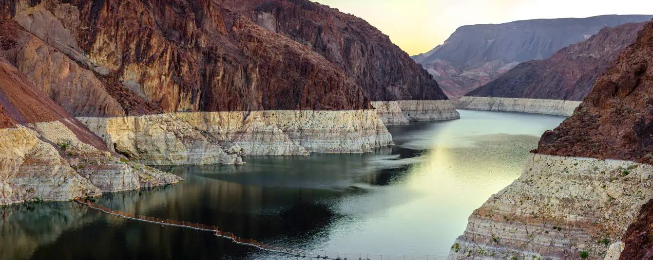
What is so fascinating about the Grand Canyon? Perhaps because the immense chasm carved out by the waters of the Colorado River allows us to look down on the darkest depths of the earth from above, at a safe distance? Perhaps because, deep down, we are attracted and terrified by the power of nature? When our gaze rests on the peaks of the highlands and it shifts downward, what we feel is the greatest sense of disarming smallness.
Still, you can’t resist the call of the Grand Canyon. You want to see everything up close, you want to go down into this gash in the earth, to see how far you can go. In this article, we want to help you organize your hike along the trails of the Grand Canyon, whether you’ve decided to go to the much more famous and frequented South Rim or you want to go into the mysterious and isolated North Rim instead (if you’re still unsure between the two, there’s an article here just for you). You can also hike the Grand Canyon rim to rim!
Before going into the trails, a recommendation: if you are planning a day hike to the Colorado River, know that unfortunately, it is not possible. The park rangers themselves advise against this practice, especially during the summer months. In fact, for this type of activity, it is recommended to divide the hike into at least two days.
Contents
Grand Canyon South Rim hikes: best trails
Rim Trail

- Length: Variable, up to 5.4 miles
- Elevation 197 ft
- Difficulty: Easy
- Duration: From 15 minutes to a full day
The Rim Trail is the most famous trail in the South Rim. It is the easiest and most adaptable, as it allows you to choose the length of the trail, customizing it according to your physical condition and itinerary. You can walk a section of it, but nothing prevents you from walking along its 5.4 miles and reaching the end of the trail, being able to stop at all the viewpoints. Along this easy hike of the Grand Canyon, you will enjoy many of the most fascinating views of the South Rim.
- To reach every single entrance of the trail, you can also use the Kaibab Rim Route Shuttle Bus (Orange Line).
- Here is where the trail begins, which ends with the trailhead of the South Kaibab Trail (Yaki Point, end of the Orange Line).
Bright Angel Trail

- Length: Variable (from 3 miles to 9 miles one way)
- Elevation: Variable (from 1115 ft to 3034 ft)
- Difficulty: Moderate to difficult
- Duration: 2-4 hours to 2 days
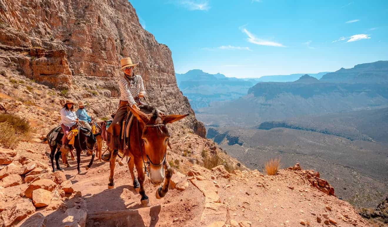
This exciting trail makes it possible for you to descend for about 9 miles into the heart of the canyon until you reach the banks of the Colorado River. The start of the hike – well marked – is west of Bright Angel Lodge. Keep in mind that it is not possible to reach the river in a single day: if you plan to make it all the way down, you’ll have to divide the descent into two days, sleeping in one of the two available lodges on the trail (e.g. Phantom Ranch).
Precisely because it is a very demanding descent, especially in summer, when it is very hot, we advise you to organize your hike well, perhaps taking into account that the upper section is in the shade in the afternoon hours. You can decide to go back after 1,5 miles, or after 3 miles, where you will find resthouses where you can cool off and decide whether to continue to Indian Garden and, finally, to the river.
South Kaibab Trail

- Length: Variable (from 1.8 miles to 6 miles one way)
- Elevation: Variable (from 755 ft to 2034 ft)
- Difficulty: Moderate to difficult
- Duration: 1-2 hours to 4-6 hours
Start the trail south of Yaki Point. You will need to use the free shuttle service to reach the trailhead. This is an exciting hike through ravines and viewpoints of indescribable beauty. In the afternoon hours, the trail is in the sun, so we recommend that you plan to start your hike early in the morning.
This trail is also divided into several stops in order to make it easier for hikers. Once past the Ooh Aah Point, you will reach Cedar Ridge (according to some, the most fascinating short route), or reach Skeleton Point (3 miles), the last scenic stop before arriving at the river, which still requires about 3 miles of walking.
Keep in mind that during the summer months the rangers do not recommend continuing beyond the Cedar Ridge viewpoint and that the limit for the day hike is at Skeleton Point.
Grand Canyon North Rim hikes: best trails
Bright Angel Point

- Length: 2625 ft
- Elevation: 197 ft
- Difficulty: Easy
- Duration: 30 minutes
It is an easy and short walk that leads to one of the most incredible viewpoints in the entire canyon. You can begin the trail near the visitor center parking lot or from the porch behind the Grand Canyon Lodge. The path is paved and therefore accessible to all.
Widforss Trail

- Length: 10 miles
- Elevation: 197 ft
- Difficulty: Moderate to difficult
- Duration: 6 hours
To reach the trailhead of this long and enjoyable trail, you will have to walk on a dirt road for about a half-mile south of the road to Cape Royal and continue for 1 mile. The feature of this trail is that you can walk from the forest to the canyon ridges, seeing a wide variety of views. Obviously, being very long but relatively flat, you may decide to walk only part of it, depending on how much time you have available.
North Kaibab Trail

- Length: Variable (from 1.4 miles to 4 miles one way)
- Elevation: from 804 ft to 1394 ft
- Difficulty: Moderate to difficult
- Duration: 2 to 4 hours
By far the most famous trail in the North Rim, the North Kaibab Trail would allow you to descend from the edge of the canyon to the river. However, it is a very long hike (28 miles), which requires a lot of preparation and a lot of time, which is why we decided, in this article, to point out only the three most known and accessible routes for the average visitor.
You will reach the trailhead, heading north of Grand Canyon Lodge for about 1.9 miles. When you are on the trail, immersed in the forest, you can choose how far you want to go. You can stop at the Coconino Overlook after a short time, or continue for 1.9 miles to the Supai Tunnel. If you have a full day, you can descend further down to Roaring Springs Falls, but the difference in altitude is much greater.
Hike the Grand Canyon rim to rim
It’s possible to hike the Grand Canyon rim to rim combining North Kaibab Trail with South Kaibab Trail or Bright Angel Trail. As in the previous case, it is not recommended to do this hike in one day.
Hiking to Toroweap Point
This is one of the most fascinating and remote areas of the Grand Canyon, where some paths are also passable. However, it is not easy to reach. You can find more detailed information in our article about Toroweap Point.
Grand Canyon: Map of Hiking Trails
Info and Suggestions for Hiking
In addition to this online guide with all the maps and info you need, here is a series of useful tips for hiking and trekking in the Grand Canyon:
- Use clothing suitable for hiking, such as hiking boots with good soles and clothing suitable for the season and climate;
- Temperatures in the summer months reach a maximum of 104°F, so the risk of sunstroke is very high if you visit the Grand Canyon during that time;
- Bring enough water and food with you. You won’t find any supermarkets on the edge of the canyons;
- A survival kit with band-aids and treatments for blisters may be useful;
- Bring a map. Not all trails are well marked;
- As we’ve already mentioned, you can’t make it to the Colorado River and back up again during the day;
- Swimming in the Colorado River is forbidden;
- Dispose of your trash in trash cans.