This site may contain affiliate links. We may receive a commission for purchases made through these links.
Reading the title of this article, you may feel a little confused: really? Another Red Rock Canyon? How many are there? In fact, this name is often used for parks and natural areas in the West where canyons and red rocks dominate the landscape. The most famous is Red Rock Canyon in Nevada, just outside Las Vegas, but it’s not the only one: there’s also Sedona’s Red Rock Canyon (Arizona), and even Red Canyon in Utah, near Bryce Canyon, can be confusing, even though it is technically missing the word “rock.”
California’s Red Rock Canyon is located not too far from the Mojave National Preserve and Death Valley, and therefore from the Nevada border. Due both to its somewhat unfortunate location and the area’s small size, the park is little known and very rarely becomes a major stop on road trips.
However, I consider Red Rock Canyon a classic hidden gem and a great opportunity to enjoy breathtaking views with little effort and in a short amount of time, especially for those traveling from Sequoia National Park to Death Valley or vice versa. And it must be said: you don’t often come across red rock parks in California!
Location and Directions
Red Rock Canyon State Park is a desert park near Cantil, California. It lies along CA-14, which is officially designated the Aerospace Highway along this stretch.
As mentioned above, you’ll most likely visit the park as an intermediate stop while traveling between Sequoia National Park and Death Valley. In this article, we’ve already explained how to plan this route, but it’s worth listing the distances from the two parks, the nearest major cities—Los Angeles and Bakersfield—and two strategically located towns for an overnight stay nearby: Mojave and Ridgecrest.
- Distance from Death Valley (Furnace Creek Visitor Center): about 168 miles (approximately 2 hours 40 minutes), via CA-190 W, US-395 S, and CA-14 S
- Distance from Sequoia National Park (Foothills Visitor Center): about 174 miles (approximately 3 hours), via CA-65 S and CA-58 E
- Distance from Los Angeles: about 120 miles (approximately 2 hours), via CA-14
- Distance from Bakersfield: about 80 miles (approximately 1 hour 15 minutes), via CA-58 E and CA-14
- Distance from Mojave: about 25 miles (approximately 25 minutes), via CA-14
- Distance from Ridgecrest: about 35 miles (approximately 40 minutes), via CA-14
In particular, Mojave is the closest convenient base for visiting the park, but we’ll get to that later.
Find accommodations in Mojave
The Visitor Center
The Visitor Center address is Red Rock Canyon State Park, 37749 Abbott Dr, Cantil. The building is located in the Ricardo Campground area, on a rise overlooking the canyon.
Fees and Hours
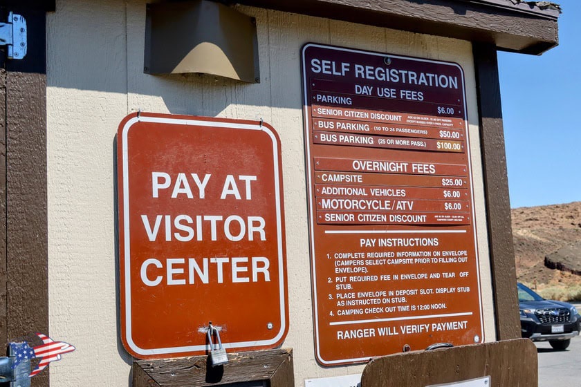
Admission is $6 per vehicle. The fee includes parking within the park and use of the picnic tables. The park is open from sunrise to sunset.
If you enter the Red Cliffs or Hagen Canyon area without stopping at the Visitor Center, you probably won’t be asked to pay. However, paying the entrance fee is strongly recommended to support the state park’s work.
What to See: Easily Accessible Scenic Viewpoints
If you’re visiting the park as a quick stop and want a taste of its natural beauty without hiking any trails, there’s great news: the park’s most famous rock formations are easily visible from the road or designated pullouts, so you can enjoy them with no effort at all. Here are the 2 main sights to see:
Red Cliffs Natural Preserve
Scorri per vedere tutte le immagini
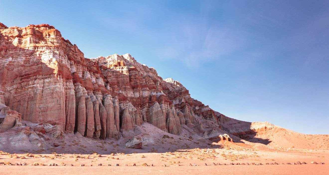
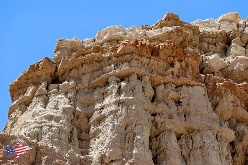
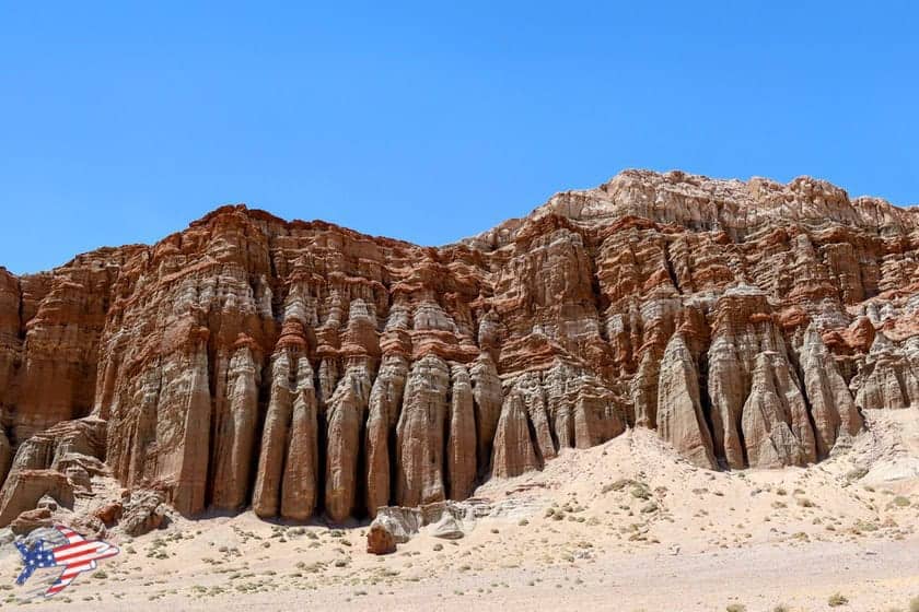
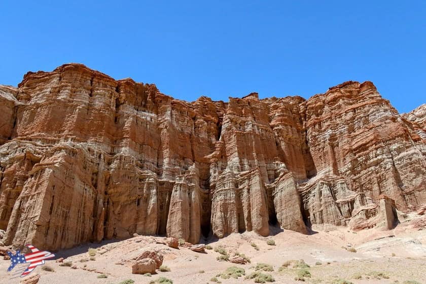
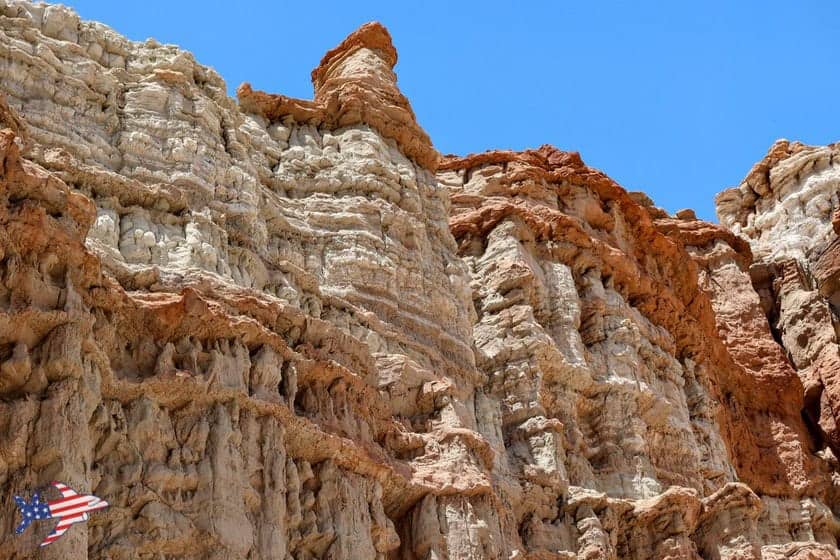
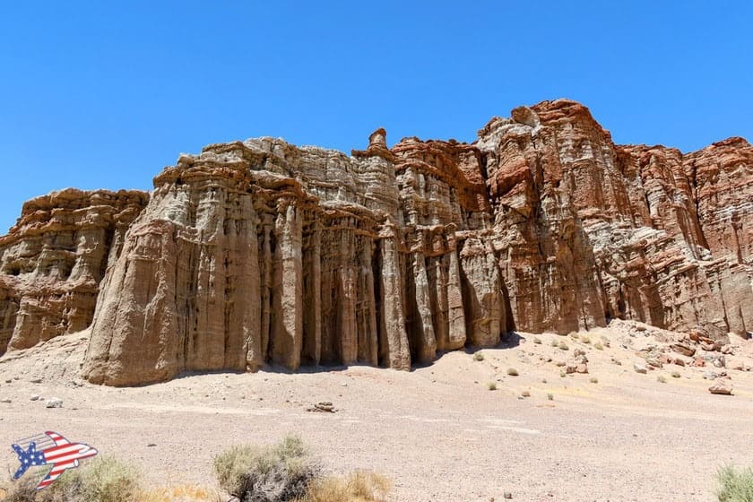
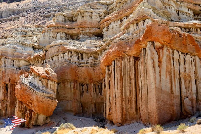
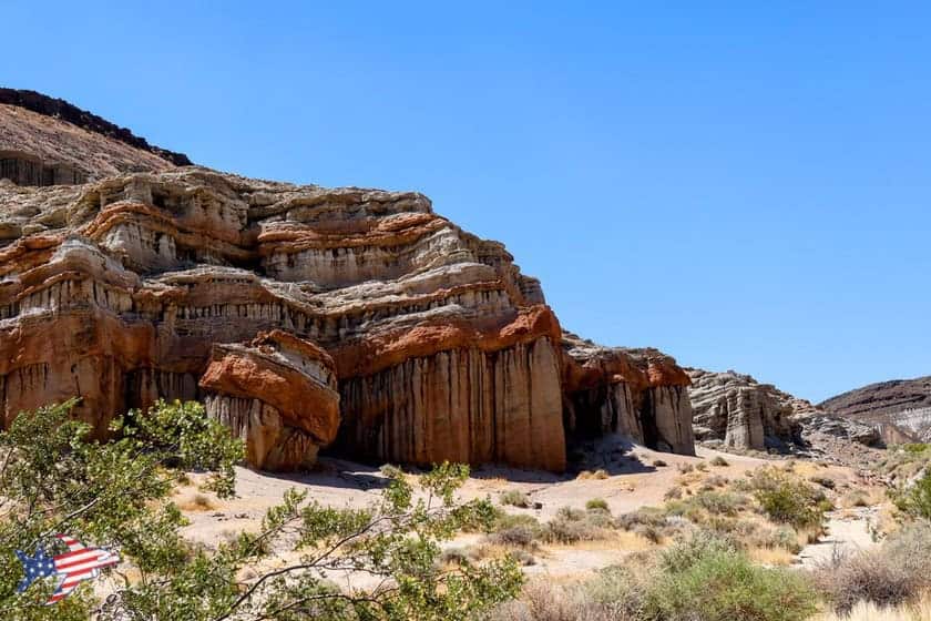
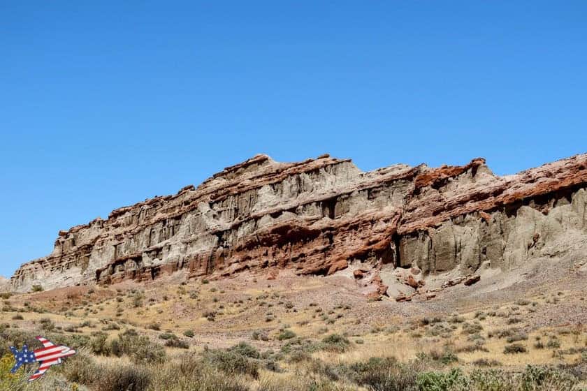
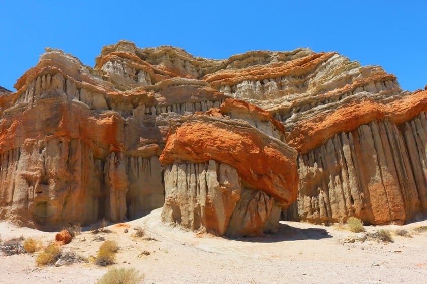
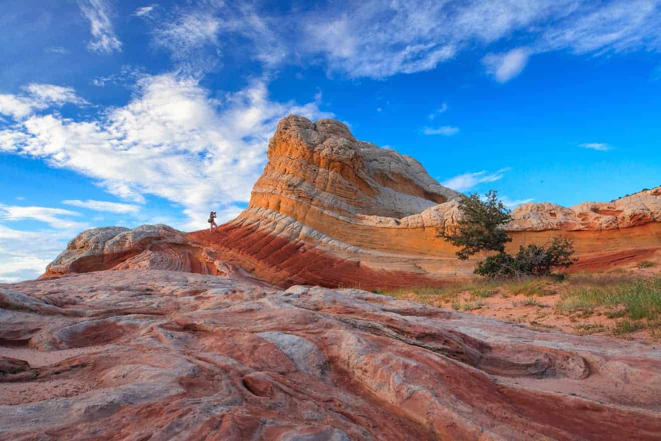
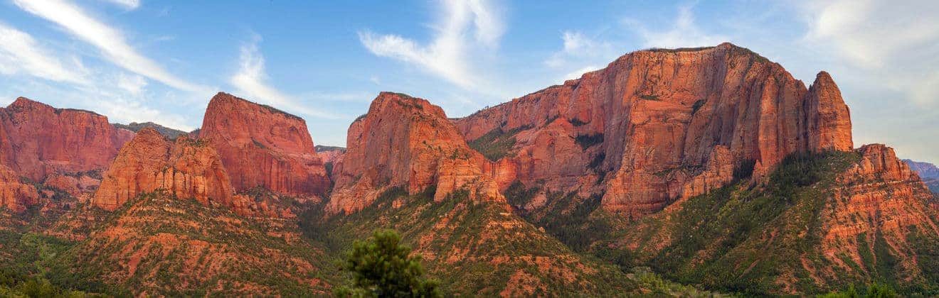
An imposing red wall that stretches down into the valley and defines this area of the park. Simply park in front of it and admire this remarkable rock formation, whose intricate details, spires, and reddish hues are especially striking. This is also where the Red Cliffs Trail begins, which we’ll discuss shortly. Location
Abbott Drive
Scorri per vedere tutte le immagini
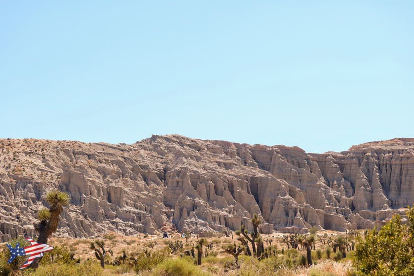
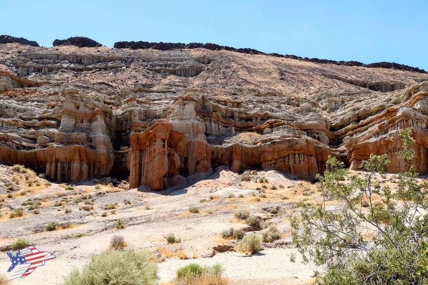
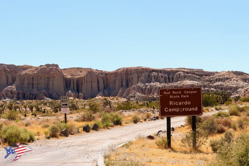
Take this road leading to the Visitor Center and Ricardo Campground Nature Trail to admire some unusual and distinctive rock formations from the comfort of your car. The trailhead for the Hagen Canyon Trail, which we discuss below, is also located at the entrance to this short scenic road. Location
Trails and Scenic Drives
Red Rock Canyon State Park is very small and easy to visit: you won’t need more than 1–2 hours to get a sense of its landscape. The most interesting trails are the Hagen Canyon Trail, the Red Cliff Trail, and the Ricardo Campground Nature Trail, but the more remote Red Rooster Day Use Area along the dirt road of the same name is also worth noting.
The easiest to reach, as well as the most scenic and quickest to visit, is the Red Cliff Trail.
Red Cliffs Trail
Scorri per vedere tutte le immagini
About 24 miles past Mojave—shortly before reaching the turnoff for the Visitor Center at Ricardo Campground—you’ll see the spectacular red-and-white striped cliffs of the Red Cliffs Natural Preserve rising along the right side of the highway.
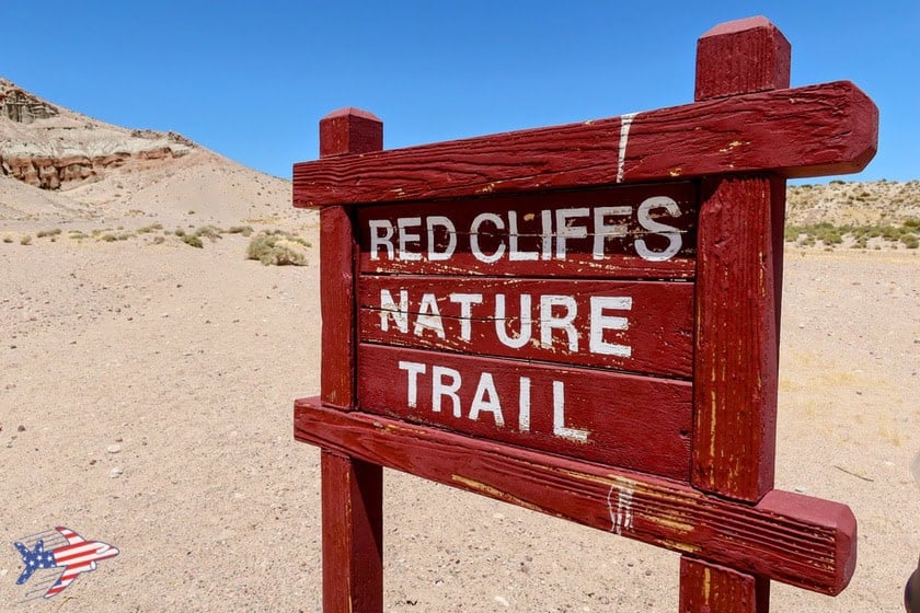
To get a closer look, turn right off Highway 14 into the Red Cliffs parking area, located directly below the formations. Even if you’re short on time, it’s worth stopping here and walking up to the base of the cliffs. If you have a little more time, you can follow the Red Cliffs Nature Trail, a 0.5-mile round-trip hike that takes you through the formations and offers excellent views of the surrounding cliffs. The park rates the trail as moderate, as some sections can be sandy or steep.
Hagen Canyon Trail
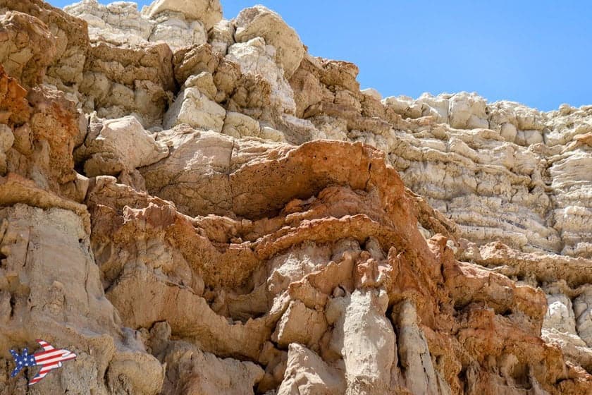
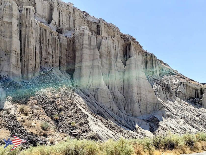
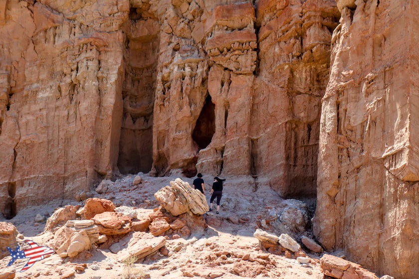
This trail also provides an easy way to see one side of a small, scenic canyon featuring the park’s characteristic rock formations.
To reach the trailhead from Mojave, drive past the Red Cliffs area and, after about 1,600 feet, turn left onto Abbott Drive, toward the Visitor Center. As soon as you turn, you’ll see a large dirt parking area immediately on your left. This is the trailhead for Hagen Canyon, which is also clearly visible from CA-14.
The hike follows an approximately 1.2-mile trail through desert landscapes, rock windows, and scenic overlooks. You don’t necessarily have to complete the entire route: once you’ve had your fill of the striking, fanciful red sandstone formations lining the canyon, you can simply turn around and head back to the parking area.
Hollywood Trivia
This area of the park has been used as a filming location for numerous movies and TV productions, including Zorro Rides Again, The Big Country, Jurassic Park, Beneath the Planet of the Apes, The Mummy, and Westworld.
Ricardo Campground Nature Trail
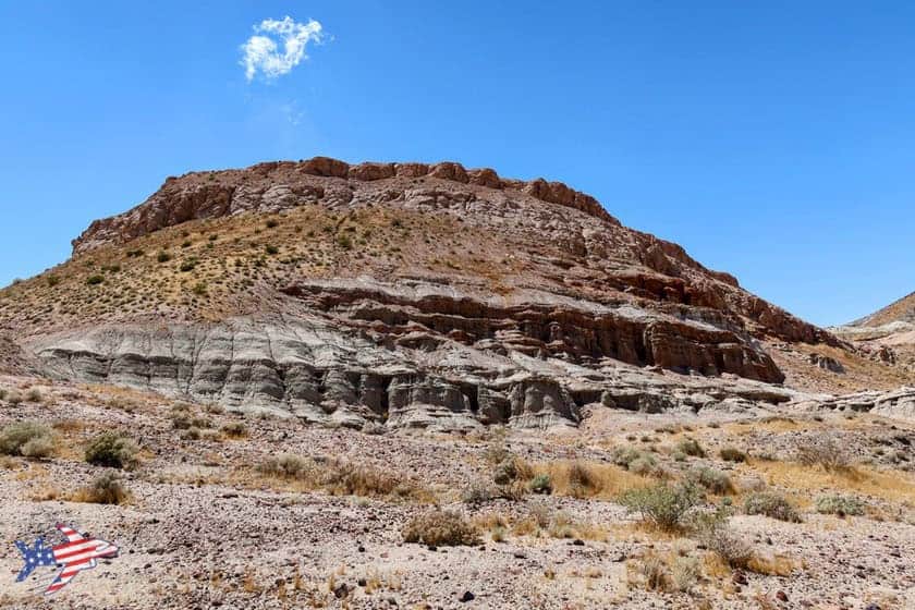
This trail is located along Ricardo Campground Road, the unpaved loop road that winds across the plateau where the Visitor Center is located. Offering beautiful views of the area’s peaks and white and red badlands, this road is best explored by car, though you should proceed with caution if your vehicle is not suitable for rough terrain.
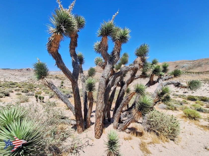
At the southern end of the road (see the map in the article), the Ricardo Campground Nature Trail begins. At 1.5 miles long with 364 feet of elevation gain, it offers the opportunity to immerse yourself in the area’s desert landscape and admire its flora—and, if you’re lucky, its wildlife.
Tip for Your Visit
If you’re short on time, I wouldn’t recommend hiking this trail. Instead, prioritize the two trails mentioned above.
Best Time to Visit
Although summer is the most popular season for visiting parks, it is not exactly the best time to visit this park. Red Rock State Park is a desert area, and summer temperatures can be very high, limiting you to quick visits.
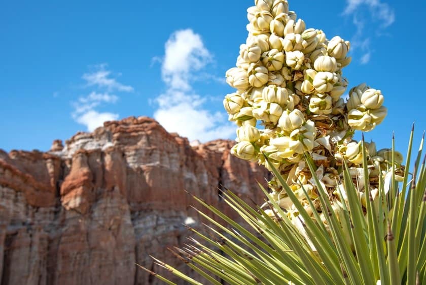
The best times of year to visit this small park are spring and fall. Spring in particular offers the chance to see beautiful vegetation, with desert flowers and plants that contrast beautifully with the color of the rocks. I especially recommend the Ricardo Campground Nature Trail and the Red Rooster area.
Where to Stay?
If Red Rock Canyon is a major stop on your itinerary, I recommend choosing accommodations in one of the following two towns:
Ridgecrest is a little farther away than Mojave, but nearby lies one of California’s most incredible natural secrets: Trona Pinnacles.
If Red Rock Canyon is instead a stopover between Death Valley and Sequoia or between Death Valley and Los Angeles, I recommend checking out the link below, where you’ll find a specific suggestion: Bakersfield.
Bakersfield Accommodation Tips
Jawbone Gas Station: A Stop Along the Way
Scorri per vedere tutte le immagini
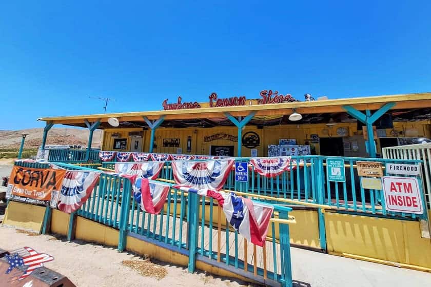
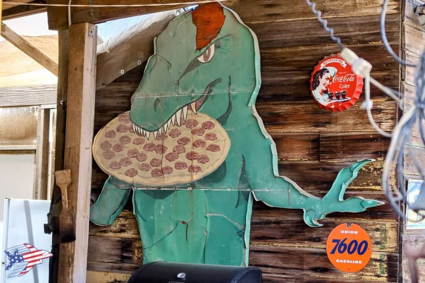
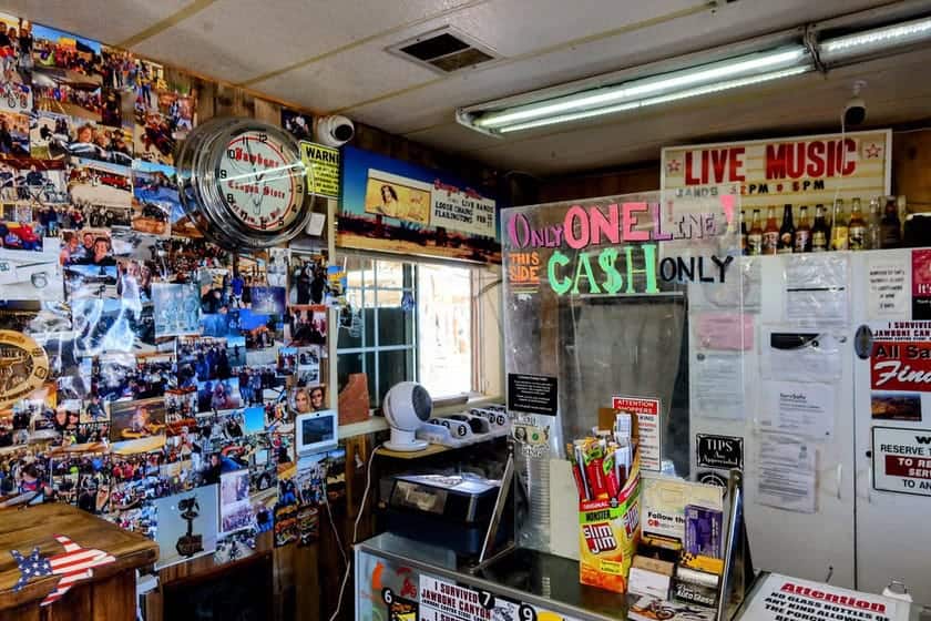
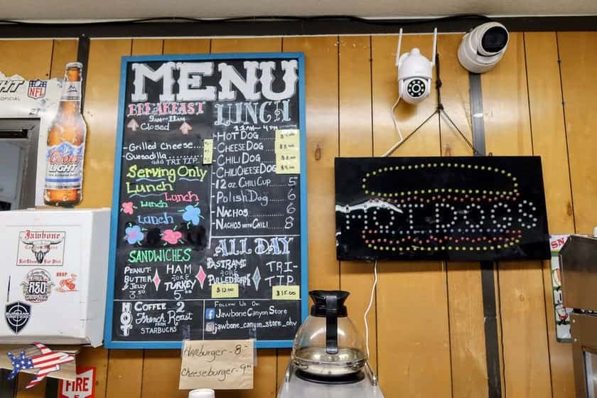
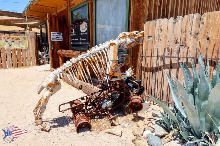
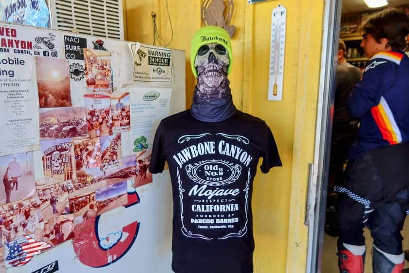
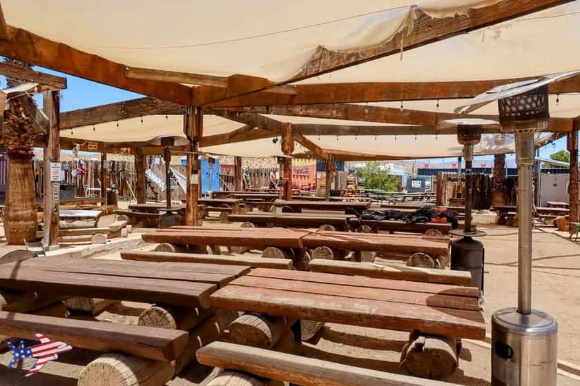
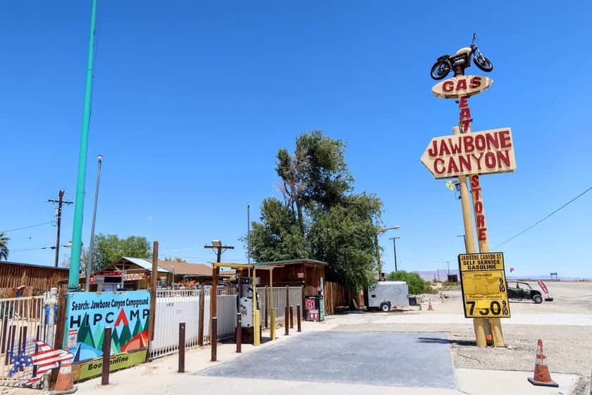
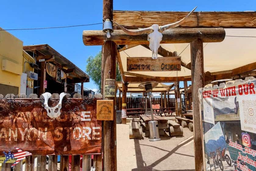
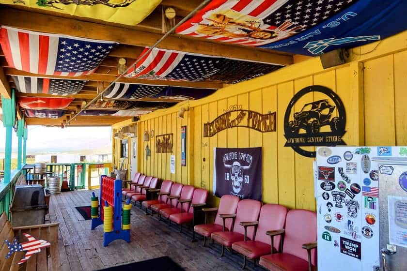
Just a 5-minute drive south of the park along CA-14 is a worthwhile stop that turns out to be an unexpected surprise. It’s the Jawbone Gas Station, which, despite its name, is not just a gas station but also a convenience store, bar, and restaurant that serves as a gathering place and landmark for motorcyclists. In fact, it hosts events, motorcycle rallies, off-road desert races, outdoor barbecues, and much more.
We stopped here around lunchtime and had a tasty sandwich, and we recommend doing the same if you arrive around midday. On weekends, however, this place comes alive with events and activities that will make your stop here truly memorable—if you happen to visit on the right day!
Map of the Places Mentioned
Warning: Operating hours can change and closures for extraordinary events can occur, so we strongly suggest to check the venues official websites.