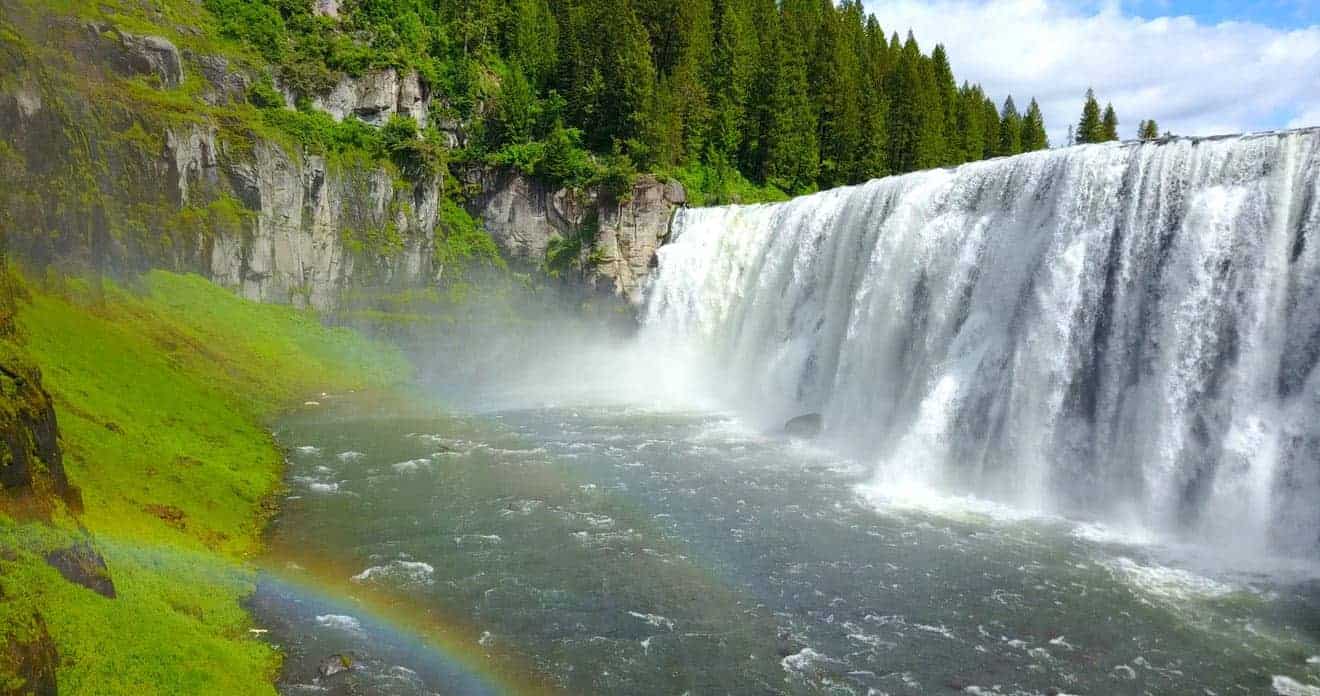
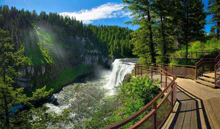
In the wooded regions of Idaho, there is an attraction that would certainly enjoy greater notoriety if it were not for the cumbersome proximity of Yellowstone Park, whose majestic nature inevitably tends to scale down the natural beauty of the surroundings. I am referring to Mesa Falls, the hidden gem of the Caribou-Targhee National Forest, a forest of over 6,200 square miles that extends to the parks of Grand Teton and Yellowstone. There are actually 2 waterfalls at Mesa Falls: the Upper Mesa Falls and the Lower Mesa Falls, and they can be reached thanks to the Mesa Falls Scenic Byway.
The falls area is easily accessible, making it a fascinating strategic stop for those who decide to visit Yellowstone from the west side. So let’s see how to visit the entire site and fully enjoy all the attractions it offers.
Contents
Where is Mesa Falls: map and directions
Mesa Falls is located in eastern Idaho, near the village of Ashton, in Fremont County, not far from the Montana and Wyoming border, about an hour away from the town of West Yellowstone, from where you can easily plan a day trip. If you are heading to the famous Yellowstone National Park from Salt Lake City you will encounter these falls along the way, only having to make a small detour on the Mesa Falls Scenic Byway, which we will discuss shortly.
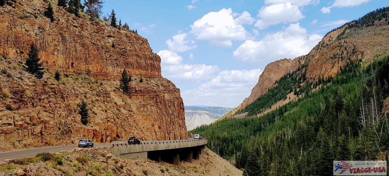
This is a destination that can also be visited by those who decide to take the Jackson-West Yellowstone route out of the park (in which case the falls are just under 2 hours away from Jackson), although it is actually quite rare to take this route when you have the chance to cross Yellowstone passing by some gems such as Old Faithful area, Grand Prismatic Spring and Norris Geyser Basin.

The first thing to do is to go to the Visitor Center (Upper Mesa Falls Rd, Ashton, ID 83420), a beautiful mountain chalet from where the 2 trails that provide you with close-up views of Upper and Lower Mesa Falls start. To reach the Lower Mesa Falls Overlook (Grandview Overlook) you will have to pick up the car again. But let’s take our time and start with the closest falls.
Upper Mesa Falls

A short walk from the visitor center is the trail that leads down to the viewing platform for a closer look at the thunderous Upper Mesa Falls. The trail is short (about 0.6 miles as a round trip) and fairly easy (the descent is made easier by a convenient walkway with steps). There are many vantage points from where you can take photos and, if you’re lucky, just like at Niagara Falls, you may catch a glimpse of a rainbow forming in front of the falls on sunny mornings. The trail is well signposted and enjoys info panels about the history and formation of the falls.


Lower Mesa Falls
There are 2 ways to see Lower Mesa Falls, one from a distance and one up close.
- The easiest way is to see them from the panoramic point Grandview Overlook, easily reachable by car
- If you have more time to invest, you can take the Mesa Falls Nature Trail that provides a close-up view of the falls


Mesa Falls Nature Trail
The trail starts at the Visitor Center parking lot. It is a 2.5-mile round trip, and leads to the plateau above Lower Mesa Falls. The more adventurous of you can continue from here until you reach the very edge of the falls, where due care must be taken. The walk winds its way through the forest, and with no particular slopes or elevation changes, it’s pretty easy for everyone.
Grandview Overlook
The Grandview Overlook is a lookout that allows you to admire the falls from a greater distance, while at the same time providing a beautiful overview. It is also very convenient and easy to reach (just 5 minutes drive from the Visitor Center). From the Visitor Center, turn back to take the Mesa Falls Scenic Byway, turn right and after 3000 feet, on the right you will find a turning for a parking lot. Park your car and just a few steps away, you will reach the overlook from where you can admire the Lower Falls in all their majesty.
Mesa Falls Scenic Byway
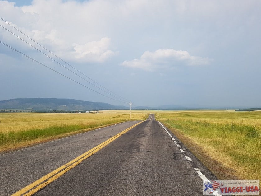


The Mesa Falls Scenic Byway is a detour from US-20 that begins at the village of Ashton (from ID 47) and rejoins the main road after a distance of 28.7 miles, taking about 1 hour to travel it entirely. The main attractions are the 2 waterfalls we mentioned above and Harriman State Park, an enchanting nature reserve of about 11,120 acres. The road winds mostly through forested areas, but personally, it was the sun-kissed grasslands of the first part of the Byway that struck me the most.

Once off the scenic route, drive about half an hour on US-20 and, at the town of Island Park, turn right onto Big Springs Loop Road heading toward Big Springs, where Johnny Sack’s Cabin awaits, the perfect subject for a postcard photo.
Where to eat
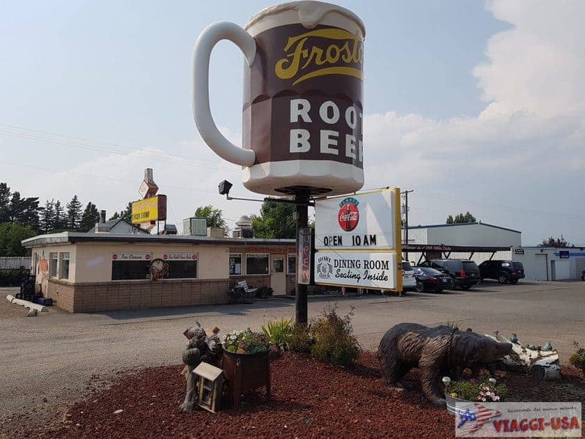
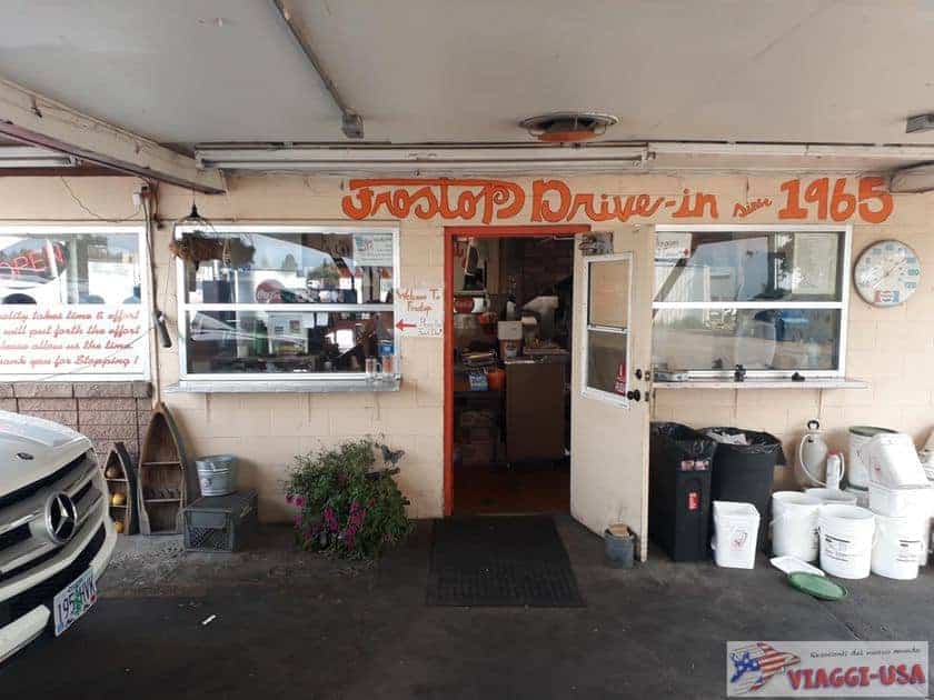

As a lunch stop I recommend the Frostop Drive Inn, in Ashton, a little more than 20 minutes drive from the falls; it is a very quaint place where I ate a great burger, also suitable for a quick stop since you can order directly from the car (we are in a Drive Inn after all). If you’re curious, you can also try the homemade root beer, a particular source of pride for the place.
Where to stay near Mesa Falls Idaho
There are a number of accommodations around Mesa Falls, especially useful for those who want to explore the Caribou-Targhee National Forest area, but in most cases we tend to use Mesa Falls as a stopover and then sleep in West Yellowstone, the ideal base for exploring the park and the beauty of the surroundings (do not discount Virginia and Nevada City). For more advice on this subject, see our tips on where to sleep in West Yellowstone.